Brisbane Airport (BNE)
City Orientation and Maps
(Brisbane, Queensland (QLD), Australia)
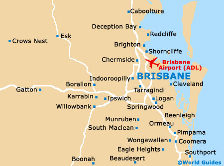
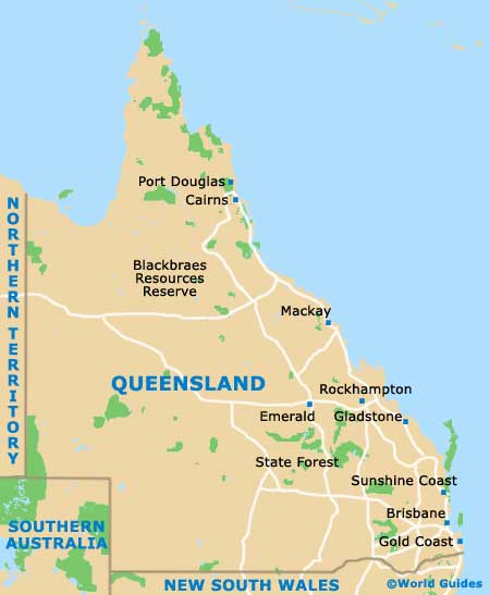
The city of Brisbane lies on the eastern shore of Australia, in between both the Tasman Sea and the Coral Sea. Situated within the state of Queensland, Brisbane is famous for its water sports and surfing conditions, lying close to Southport, the Gold Coast and Surfers Paradise to the south, Dalby, Ipswich and Toowoomba to the west, and Sandgate, Kingaroy, Maryborough and Bundaberg to the north.
Brisbane city centre is an important area of commerce and is edged by the meandering Brisbane River to the south, approximately 25 km / 16 miles from the actual shoreline itself. Much of city life is based around the South Bank Parklands and the trendy West End district, which is situated to the south.
Brisbane Airport (BNE) Maps: Important City Districts
Public transport along the actual river provides an easy way to reach many destinations, with city ferries and catamarans connecting the University of Queensland on the western side of Brisbane, and Bretts Wharf on the eastern side. Maps of the city and the Central Business District (CBD) are available at all of the tourist centres free of charge.
Important districts and neighbourhoods located in the Brisbane area include the South Bank Area - where the World Exposition was held in 1988; the Manly area - known for its numerous harbourside attractions and rich maritime history; and the colourful Chinatown district - where you will find many authentic Asian restaurants. Also worth visiting are the Milton, Paddington and Spring Hill areas of Brisbane, where eateries, shops, clubs, parks and galleries are plentiful and popular with tourists.
Australia Map

Queensland Map
Brisbane Map